Coordinate System Transformation
This application lets users change the coordinate system of objects using EPSG, ESRI and/or Well-Known-Text (WKT) strings. The application relies on open-source libraries supported by the GeoPandas project.
New user? Visit the Getting Started page.
Application
The following sections provide details on the different parameters controlling the application. Interactive widgets shown below are for demonstration purposes only.
[1]:
from geoapps.coordinate_transformation import CoordinateTransformation

app = CoordinateTransformation(h5file=r"../../../assets/FlinFlon.geoh5")
app()
Project Selection
Select and connect to an existing geoh5 project file containing data.
[2]:
app.project_panel
See the Project Panel page for more details.
Object Selection
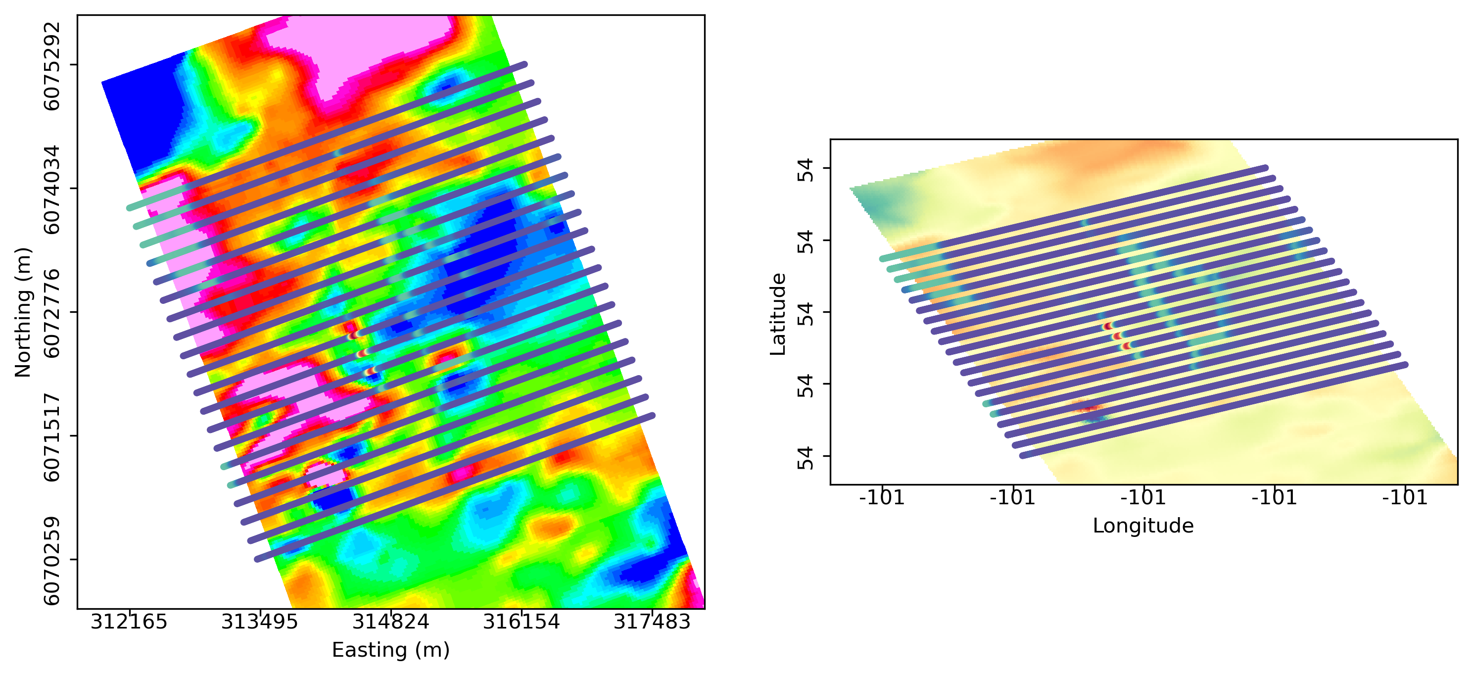
List of objects available. Currently supports objects of type Points, Curve, Surface and Grid2D
[3]:
app.objects
Input Projection
EPSG, ESRI or WKT string describing the input object coordinate system. Entering a known EPSG or ESRI code will result in an update of the WKT string, and vice versa.
Note: Only the WKT string is considered by the coordinate transformation routine.
[4]:
app.input_projection
Output Projection
EPSG, ESRI or WKT string describing the target coordinate system.
[5]:
app.output_projection
Output Panel
Trigger the computation routine and store the result.
[6]:
app.output_panel
See the Output Panel page for more details.
Need help? Contact us at support@mirageoscience.com